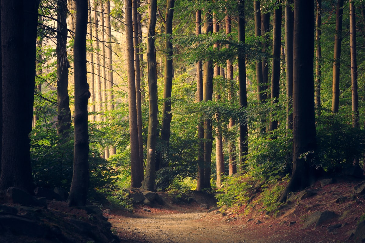
Introduction: Cali is climbed on foot
There is a scene that repeats almost every weekend in western Cali: groups of neighbors with caps, thermoses and worn sneakers climbing dirt paths while the city still sleeps below. You don't need an intercity bus or a three-hour early start to reach a páramo. In Cali, hiking begins where the pavement ends, and that is a huge advantage for anyone who wants nature without traveling far.
The city sits against the eastern slope of the Cordillera Occidental, so neighborhoods like San Antonio, Bellavista and sectors of the west have ascent paths that lead to real viewpoints over the Cauca Valley. On the interactive cards for each place on malokal.com you can check the safe map by neighborhood (Locals vs. Foreigners), live holiday schedules and book directly via WhatsApp. Watch out for one detail: the prices and schedules I mention here are for reference as of October 2026, and they change over time, so confirm them before you head out.
📌 Transparency
This article contains sponsored/affiliate links. We may receive a small commission at no extra cost to you.
Spanish Bootcamp Online
Before we go on, a clarification I repeat on every outing: the hills of Cali are urban and peri-urban trails of low to medium difficulty, not high mountain terrain. There are no secret tunnels, underground vaults or hidden passages on these hills; if someone offers them to you as an attraction, it's an urban myth. What there is, is real trail, brush, views and sweat. And plenty of it.
Why Cali lets you hike without leaving the city
Cali spreads across the Cauca River valley and ends abruptly against the western hills. That geography means that in less than an hour you go from the traffic of Calle 5 to the edge of the forest. Cerro de las Tres Cruces, Cerro de La Bandera and the San Antonio sector are the clearest examples: elevations within or right on the edge of the urban perimeter, with walking access from residential neighborhoods.
The proximity has another practical advantage: you can climb early, come down, have breakfast and carry on with your day. You don't need expedition logistics. For visitors, it's a way to see the city from above and understand its real scale, that mix of flat valley and mountain that defines the Cali landscape.
That said, don't confuse proximity with absolute ease. The valley's humid heat hits hard from mid-morning, and several of these paths are sustained slopes without shade. My usual advice: leave early, carry water and don't underestimate the climb just because it's urban. On one of my first outings to Cerro de La Bandera I got overconfident because of how close it was and set off at nine in the morning; halfway up the sun had already left me out of breath with an empty bottle. I didn't repeat that mistake.
What to do: verifiable ascent routes
These are the routes I can recommend with firsthand knowledge. All are low to medium difficulty, with starting points accessible by taxi, ride-hailing app or even on foot from nearby sectors. Durations are estimates and depend on your pace, breaks and the day's weather.
Cerro de las Tres Cruces
It is Cali's best-known climb and the one that attracts the most newcomers. The main path ascends from the Versalles sector and other western access points, with a steady slope and stretches of dirt and stone. At the top, the three crosses that give the hill its name await you, along with an open view over the valley. It is a demanding walk for anyone not used to it, so take it easy and bring enough water. On weekends there are plenty of people, which is good for those climbing alone or for the first time. Check the trail conditions and access recommendations before you go, because the hill's administration and restrictions can change; at times prior registration has been required to enter, so confirm that point with the administration or the environmental authority before setting off. It is also common to find street vendors selling water, fruit and snacks along the way, and loose pets on the lower stretches: keep your distance from dogs and don't feed them.
Cerro de La Bandera
This is the hill of western Cali, with ascent paths leading to viewpoints over the city. The climb is of medium difficulty, with steep stretches and low brush vegetation. It's a place where you should carry a downloaded map, because the signal can be weak in some spots and the access routes aren't always clearly marked. Ask local residents for the most direct path and avoid improvising shortcuts off the trail. The reward is a wide view and the feeling of being far away without having gone far.
Cerro de San Antonio
The San Antonio neighborhood is one of the most walkable in Cali, with steep streets, colorful houses and a neighborhood life you feel on every corner. The ascent toward the upper part of the hill is short but steep, ideal for those who want to start with something gentle and combine it with a stroll through the neighborhood. It's not a mountain summit, it's an urban viewpoint with history: from there you understand why San Antonio is a must-stop for locals and visitors alike. Take the time to walk without rushing, look at the architecture and sit in one of its plazas.
Parque Natural Municipal Los Farallones de Cali
Here we need to be precise: Los Farallones de Cali is a large natural park that surrounds the city to the west, and its access is not just any urban stroll. Routes into the park involve traveling outside the urban area and, in many cases, registration and specific entry conditions. Don't treat it as an improvised Sunday walk. If your plan is to enter the park, check with the corresponding environmental authority about enabled routes, permits and authorized guides. For the urban hiking this guide covers, the park works more as a backdrop and a planned weekend destination than as a quick outing.
Mirador de Bellavista
Bellavista is a western sector from which you get wide views of the city and the valley. It is a residential area with steep streets, and the walk up to the high points is a short climb of low difficulty. The advantage is that you can combine the walk with a loop through the neighborhood and finish with something refreshing. As throughout the west, the recommendation is to go during the day, in a group and with a clear route. Signage isn't uniform, so use maps and ask.
What to bring and what not to
The gear for these hills is simple, but not optional. This is my base list for any urban hiking outing in Cali:
- Water: at least one liter per person for routes of one to two hours. With the valley heat, you consume more than you think.
- Footwear with grip: trail shoes or sneakers with firm soles. The terrain is loose dirt and stone; smooth soles slip on the way down.
- Sun protection: cap, sunglasses and sunscreen. Most of the route is exposed.
- Quick-dry clothing and a light layer in case the weather changes. In Cali it can rain suddenly.
- Charged phone and downloaded map: the signal can fail on the higher stretches.
- Light snacks: fruit or bars for routes longer than two hours.
What not to bring: blaring speakers, trash, and the idea that "it's just a hill." Respect the environment and those who climb seeking silence. Also don't wear brand-new shoes you haven't broken in; blisters on the descent are a classic that ruins the outing. It happened to me once with a freshly bought pair of boots: I came down the last few meters almost dragging my foot. Break in your footwear on a short route first.
About timing: the ideal window is early morning, before the sun gets strong. Avoid midday and the early afternoon in the dry season. Check the forecast the day before and don't go out if a storm is forecast.
Safety and coexistence on the hills
The hills of Cali are shared spaces: neighbors training, families climbing on weekends, athletes and visitors. Coexistence starts with respecting the marked trail and not opening shortcuts through vegetation. Going off the path erodes the terrain and also exposes you to unnecessary risks.
And here I want to be direct, because safety is not a minor issue: thefts have been reported on these hills, especially during low-traffic hours and on less busy routes during the week. Don't climb alone if you can avoid it, and if you go in a small group, choose the busiest hours. Accidents also happen: sprains, falls on loose stone stretches and heat exhaustion from dehydration. Most are avoided with proper footwear, water and caution.
Concrete recommendations:
- Climb in a group or at least in pairs, especially on less busy routes during the week.
- Go during the day. Don't plan your descent for dusk; light fades quickly on the hill.
- Tell someone your route and estimated return time.
- Carry only what you need: avoid jewelry, visible expensive equipment and unnecessary cash.
- Respect the indications of the hill's administration and the environmental authority where they exist.
- Don't leave trash. What goes up comes down. No exceptions.
If it's your first time, choose a busy route like Cerro de las Tres Cruces on a weekend. The presence of other walkers is your best safety net. And if something doesn't feel right, turn back. No view is worth a risk you can avoid.
Where to eat or drink after the climb
Coming down hungry is part of the plan. Western and central Cali have options for every budget, and many are just minutes from the hill access points. The prices I mention are for reference as of October 2026 and may change; confirm them on the Malokal cards.
In the San Antonio sector and its surroundings there are cafés and neighborhood restaurants where a breakfast with eggs, arepa and coffee can run around $15,000 to $25,000 COP. For something heartier after a long climb, look for typical food spots in the west: a plate of sancocho or a bandeja with rice, beans and meat usually costs between $20,000 and $35,000 COP depending on the place. In the Versalles area and the west there are bakeries and shops where you can buy water and fruit before or after the walk.
If coffee is your thing, Cali has a growing specialty coffee scene downtown and in neighborhoods like San Antonio and Granada. A pour-over coffee can cost between $6,000 and $12,000 COP. For the post-hiking plan with friends, a local craft beer around the downtown area runs about $10,000 to $18,000 COP. Check the hours, because many places open late and close early during the week.
How to get there and transportation
The good news is that you don't need a car for most of these routes. The access points to Cerro de las Tres Cruces, San Antonio and Bellavista are within the urban perimeter and can be reached by taxi, ride-hailing app or public transportation. For Cerro de La Bandera, confirm the exact starting point with the driver, because there are several access points and not all are equ