

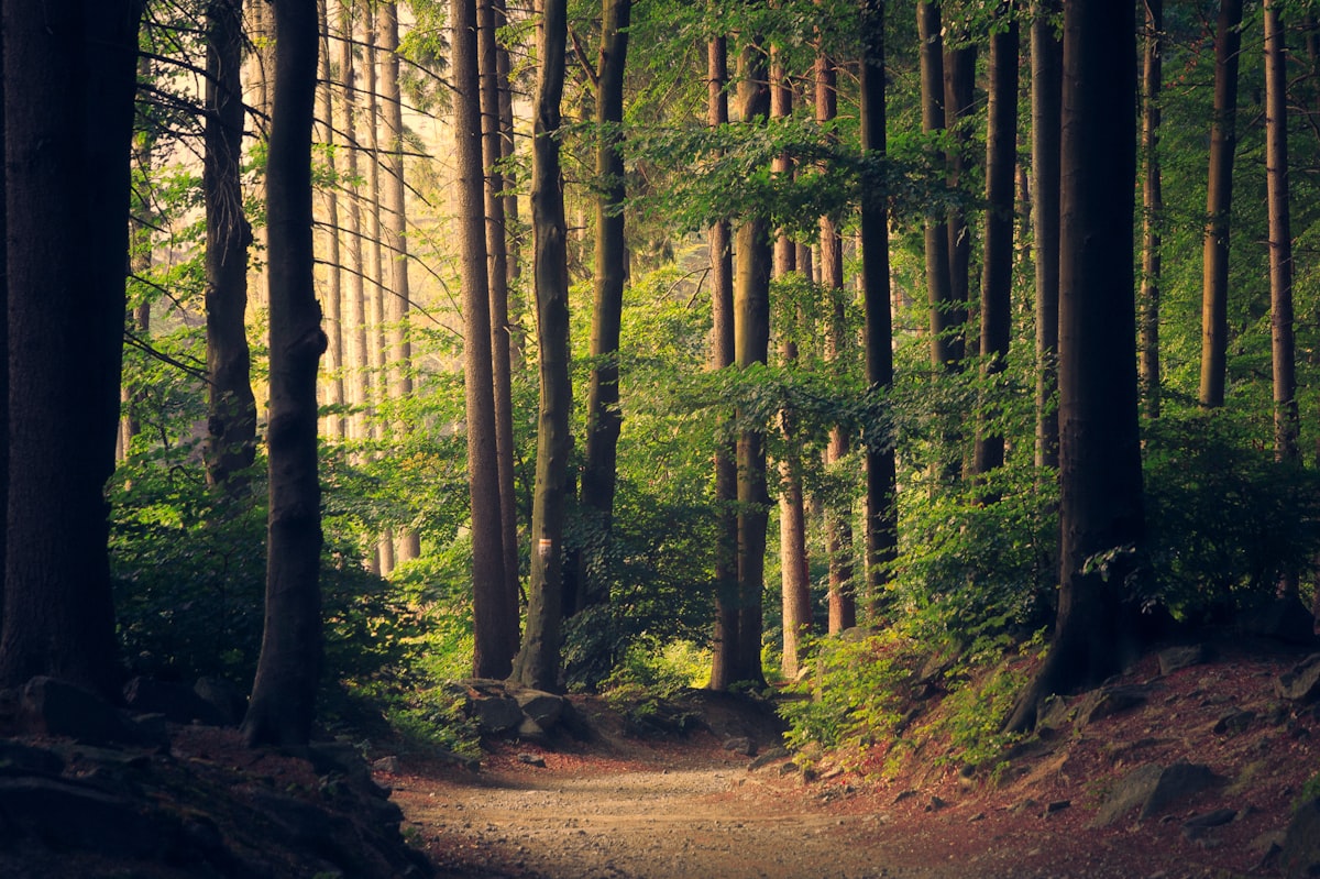
The Sierra Nevada: a living mountain
Santa Marta is fortunate, because very few cities in the world can boast a snow-capped mountain range that rises from the Caribbean Sea to 5,700 meters in less than 50 kilometers. Imagine it: you have a patacón with cheese for breakfast facing the beach, and just four hours later, you find yourself walking among giant ferns and mist in a cloud forest. The Sierra Nevada de Santa Marta is the highest coastal mountain range on the planet, and that is not just a tourist fact: it is something you truly feel in your legs when you start to climb.
In this Malokal guide you will find updated prices; use the interactive cards for each place on malokal.com to check the safe map by neighborhood (Locals vs. Foreigners), live holiday schedules, and book directly via WhatsApp. Keep in mind that the prices you see here are reference prices from October 2026 and may change, especially in high season (December–January and Easter).
📌 Transparency
This article contains sponsored/affiliate links. We may receive a small commission at no extra cost to you.
Spanish Bootcamp Online
Before we begin, it is important to clarify that in Santa Marta there is no company or official route called "Rutas Secretas de Santa Marta", nor an operator known as "Senderos Ocultos". If someone offers you a tour with those names, be suspicious. What does exist are real, verifiable, and spectacular trails, some very crowded and others that are true hidden gems. That is what this guide is about.
Context: what the Sierra Nevada is and why it matters
The Sierra Nevada de Santa Marta is a mountain system independent of the Andes, with snow-capped peaks such as Simón Bolívar and Cristóbal Colón. It is the ancestral territory of the Kogui, Arhuaco, Wiwa, and Kankuamo peoples, who consider it the heart of the world. This has a practical consequence for hikers: many paths cross indigenous resguardos and require permission or an authorized local guide. This is not bureaucracy; it is an act of respect toward sacred territories and the communities that live there.
The strip most visited by hikers runs from Minca (about 15 km from Santa Marta, heading up the road to Cerro Kennedy) to the villages of Bonda and the foothills of Parque Nacional Natural Sierra Nevada de Santa Marta. This area concentrates waterfalls, pools, coffee farms, mountain hostels, and a network of mule paths that have connected farms for centuries.
What to do: real hiking routes
Parque Nacional Natural Sierra Nevada de Santa Marta
PNN Sierra Nevada de Santa Marta is the protected area that covers much of the massif. It is not a park with a single ticket booth or a self-guided theme-park-style trail: it is an extensive protected area with several access points, the most practical for visitors without an expedition being the Minca sector and its surroundings. For multi-day routes to the upper part, you will need an authorized guide and, in many cases, permits from the indigenous communities.
What you can do without an expedition is walk the trails of the lower strip, visit coffee farms, and use Minca as a base. Remember that the weather changes quickly; in a single afternoon you can go from intense sun to torrential rain. So always carry your raincoat, even if the sky is clear.
Ciudad Perdida (Teyuna)
Ciudad Perdida — better said, Ciudad Perdida (Teyuna) — is the most famous trek in Colombia and probably the most in-demand in the Sierra. This multi-day route (usually four to five days) begins in the village of El Mamey, on the Santa Marta–Riohacha road, and goes deep into the jungle to the Tayrona archaeological site.
Key points you should keep in mind before paying: it can only be done with authorized operators, there are limited spots per day, and the trek includes river crossings, camps, and local guides. It is not a hike to improvise or do on your own. If you have knee or back problems, think twice: it is many hours of uphill and downhill on slippery terrain.
Minca – Pozo Azul Trail
This is the accessible classic, the one most people do. It starts in the town of Minca and goes up the road to the turnoff toward Pozo Azul, where the Gaira River forms natural pools of cold water that comes directly from the sierra. It is a simple route, suitable for almost anyone with basic fitness, and the reward is a dip in icy water after the heat and humidity of the trail.
Be careful with the time of year. In October, during the rainy season, the Gaira River can carry a lot of water and the crossing can be dangerous or even impossible. At other times of the year, people usually swim, go up to the waterfall, and cross to the other side. If the river is high, do not try it: it is not worth risking yourself for a photo.
Marinka Waterfall
Marinka Waterfall is another classic stop on the Minca circuit. You reach it on foot from the town and it is part of the circular route known as the Minca Loop, which also passes by the Mirador de Santa Marta. It is a rainforest waterfall, with a pool to cool off in, and it is usually less crowded than Pozo Azul because it requires a bit more walking.
The full Minca Loop (east exit of Minca, Pozo Azul, Mirador de Santa Marta, and Marinka Waterfall, returning via the south entrance of the town) is a full-day hike with significant elevation changes. If you decide to do it, leave early, carry enough water, and do not underestimate it just because it is "close to town".
Taironaka Reserve
If you want to combine archaeology, river, and jungle without embarking on a multi-day trek, Taironaka is a different option. It is located on the road to Riohacha, on the Don Diego River, and operates as an ecohotel with Tayrona archaeological trails, tubing, and trekking. It is a full-day or one-night plan, and it lets you see Tayrona terraces and remains in a river setting, without the physical demands of Ciudad Perdida.
It is advisable to book in advance, especially in high season, and to confirm tour availability directly with the reserve.
Where to eat and drink: real stops
Ikaro Café
After an intense day in the mountains, your body craves real food. Ikaro Café, in the Historic Center of Santa Marta, is a healthy food stop with a good reputation among travelers: it has hundreds of reviews on Tripadvisor and a solid rating. It is the kind of place where you can eat well without feeling like you are in a tourist trap, and it works both for a post-hike breakfast and for a light lunch. If you arrive hungry after a long walk, order something hearty and not just a bowl.
In Minca there are several mountain restaurants and cafés along the main road, with prices that tend to rise as you move away from the town. In the Historic Center of Santa Marta, the offering is broad; reference prices from October 2026 for a standard lunch range between $18,000 and $35,000 COP, and in Minca they are usually similar or a little higher due to mountain logistics.
How to get there and transportation
The base for almost all accessible hiking is Minca. You get there from Santa Marta via the road to Cerro Kennedy, on a short car or motorcycle ride. There is public transport and motorcycle taxis that go up to the town, and you can also hire a taxi or a private service. If you decide to go in your own car, keep in mind that the road is mountainous, with curves and narrow sections; drive calmly and avoid doing it at night if you do not know the route.
For Ciudad Perdida, the starting point is El Mamey, on the Santa Marta–Riohacha road. Authorized operators usually include transport from Santa Marta to the start of the trek, so you will not have to figure it out on your own.
For Taironaka, access is via the road to Riohacha, at km 56.6, on the Don Diego River. The most practical way is to go by your own car or with hired transport, and coordinate with the reserve.
Within Santa Marta, to move between the Historic Center, El Rodadero, and the departure points toward the sierra, taxis and ride-hailing apps work, although during peak hours traffic toward the city exit can get complicated. Allow extra time if you have an early departure.
Local tips for hiking in the Sierra Nevada
- Leave early, always. In the mountains, the afternoon brings rain and fog. If you start at 10 a.m., you will probably walk in bad weather.
- The river rules. In the rainy season (roughly May to November, with October as the critical month), river crossings can become dangerous. If the water is high, it is better to turn back.
- Do not cross resguardos without permission. If a path enters indigenous territory, you need authorization. Ask in Minca or with your operator before venturing in.
- Carry cash. In Minca and on the trails, signal and card readers can fail. The October 2026 reference prices you see in this guide may vary; check the Malokal cards before you leave.
- Footwear with real grip. The mud of the sierra does not forgive smooth sneakers. Choose boots or trail shoes with good soles.
- Repellent and sunscreen. Yes, even if it is cloudy. The high-altitude sun burns and the jungle mosquitoes do not let up.
- Do not leave trash. It sounds obvious, but the Minca trails receive many people and trash accumulates. Take it with you.
- Respect the communities. Ask permission before photographing people, and do not enter private farms without authorization.
- Hire local guides. It is not only safer: it is the way tourism money stays in the area.
- Check schedules and availability. For Ciudad Perdida and Taironaka, confirm availability in advance; spots fill up in high season.
Environmental impact and conservation
The Sierra Nevada de Santa Marta is one of the most biodiverse and fragile ecosystems in Colombia. The pressure of unregulated tourism, deforestation, and trash are real problems. As a visitor, your room to act is concrete: walk on established trails, do not open new paths, do not collect plants or animals, and prefer operators that work with local guides and communities.
It is also important to understand that the sierra is not just an adventure destination: it is the ancestral territory of four indigenous peoples who consider it sacred. Walking here means entering a space with owners and with rules. The best way to conserve it is to respect those rules, pay fairly, and not treat the mountain like an amusement park.
Frequently asked questions
Can I go hiking in the Sierra Nevada without a guide?
Yes, on accessible routes such as the Minca to Pozo Azul trail or Marinka Waterfall you can walk on your own if you have basic fitness and respect the trails. But for routes that cross indigenous resguardos, for Ciudad Perdida, or for multi-day hikes, you need an authorized guide and, in many cases, permits. Do not improvise in areas you do not know.
What is the best time of year to go hiking in Santa Marta?
The driest season usually runs from December to April, when rivers are lower and the trails are less muddy. The rainy season (May to November) brings lush vegetation, but ta
