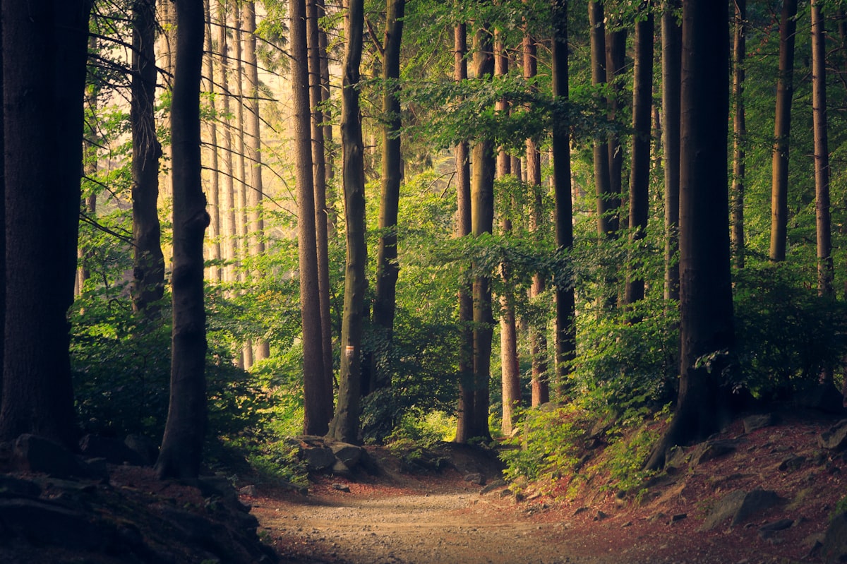
Origins: the road that was Antioquia's highway
Before the road to Santa Elena was drawn on the map, before the tunnel that shortens travel time, Medellín was connected to eastern Antioquia through dirt and stone trails, traveled by muleteers leading mule trains loaded with flowers, panela, charcoal, avocado and quesito. These royal roads were not a romantic whim; they were the logistical backbone of the Valle de Aburrá. Everything the city needed and everything the countryside produced passed through them.
Santa Elena, a corregimiento east of Medellín, was for decades the city's breadbasket. Its veredas —Piedras Blancas, El Plan, Santa Elena centro, Barro Blanco, Mazo— supplied the market squares with export flowers, vegetables and firewood. The muleteers were the messengers of that system: men who knew every stone on the road, every inn and every water spring. Their figure has become so intertwined with paisa identity that today, "arriero" evokes a hardworking, early-rising Antioquian who keeps his word.
📌 Transparency
This article contains sponsored/affiliate links. We may receive a small commission at no extra cost to you.
Spanish Bootcamp Online
Timeline: from the mule to the metrocable
The mule that supplied Medellín
During the 19th century and the first decades of the 20th, the royal road between Medellín and Santa Elena was the only route for trade with Rionegro, Guarne and eastern Antioquia. The mule trains climbed through what are today the slopes between downtown Medellín and the corregimiento, carrying coffee, fabrics and merchandise that arrived via the Magdalena River. On the way down, they brought flowers, potatoes, corn and charcoal. The fondas and inns along the road were the equivalent of today's service stations.
When the truck arrived
With the arrival of the road to Santa Elena and motorized transport, the mule ceased to be the main means of transport. The muleteers, though fewer, did not disappear; they retreated to the high veredas and internal roads where a truck cannot enter, but a mule can. That is the key point to understanding the landscape you see today.
Hiking rediscovers the road
In the last twenty years, with the rise of urban trekking in Medellín, the royal roads of Santa Elena have come back to life; they are no longer traveled by trading muleteers, but by weekend walkers. Parque Ecológico Arví and the metrocable Línea L system, which connects to Arví, have transformed the way of accessing the area, but the dirt trails still persist, and farmers use them daily.
Key figures and events: who sustains the muleteer culture
The flower muleteer
Today, the flower grower is the most visible figure in Santa Elena. The farms in the area produce a large part of the flowers exported from José María Córdova Airport, and in high seasons —such as Mother's Day, Valentine's Day or Amor y Amistad— the work never stops. Many of these growers still use mules to bring down bundles along roads where no vehicle can enter, especially in the steepest veredas. It is not a matter of folklore; it is pure logistics.
The fondas and inns along the road
Along the royal roads, fondas survive where caldo, arepas with quesito, chocolate and tinto are sold. They are meeting points for muleteers, farmers and walkers. They have no brand names or social media; they are recognized by the smoke from the kitchen and by the horses tied up outside. If you decide to walk, respect the space: they are working businesses, not tourist attractions.
Music and sayings
The muleteer culture has left an indelible mark on Colombian Andean music: the bambuco, the pasillo and the muleteer songs that told of roads, mules and absences. In paisa sayings, this heritage still resonates: "más terco que una mula", "arriero con hambre no carga bien", "el que madruga, Dios lo ayuda". That mix of humor and resignation defines the muleteer in the Antioquian imagination.
The gastronomy of the road
The food associated with muleteer culture is simple and hearty: frijoles con garra, arepa de maíz, quesito antioqueño, hogao, chocolate de mesa and panela. In Santa Elena, you also find the famous arepa de maíz pelao and the fresh quesitos sold at the fondas in the veredas. It is working food, not restaurant food, and for that very reason it tastes like what life was like on the royal road.
Current state: what can be walked today and what cannot
The royal roads of Santa Elena are mostly not signposted as formal tourist routes. Some sections coincide with trails in Parque Arví, others cross private farms and others are open veredal roads. Before setting out, check with the local community or with registered rural tourism operators which sections are open. Do not enter private property without permission and do not walk alone on trails you do not know.
Below are the verified reference points to plan your hike.
Corregimiento de Santa Elena
It is the natural starting point. Santa Elena is a corregimiento of Medellín located east of the Valle de Aburrá, at about 2,500 meters above sea level, with a cold climate and frequent fog. Its town center has a plaza, church, bakeries and fondas where you eat well and cheaply. From here, roads lead to the veredas and to Parque Arví. It is the ideal place to stock up on water, fruit and panela before starting to walk.
Parque Ecológico Arví
Parque Arví is an open public park of approximately 1,761 hectares of forest, part of the Río Nare reserve, covering territories of Medellín, Bello, Copacabana and Guarne. It is also a pre-Hispanic archaeological site. You can get there by metrocable Línea L from Santo Domingo station, or on foot from Santa Elena along trails that in some sections coincide with old royal roads. Inside the park there are signposted trails, viewpoints and picnic areas. It is the safest option for walking without a guide if you do not know the area.
Vereda Piedras Blancas
Piedras Blancas is a vereda of Santa Elena with native forest and plantation trails, and is part of the Parque Arví area. It is one of the zones where the royal road landscape is best preserved: dirt, stone, fog and crops. There are medium-difficulty hiking routes that connect with the park. It is recommended to check schedules and trail conditions before visiting, especially in the rainy season.
Mirador de Santa Elena
The viewpoints of the corregimiento offer broad views of the Valle de Aburrá and, on clear days, of the entire city. They are mandatory stops to understand the geography that forced the muleteers to use mules: steep slopes, fog and winding roads. There is no single official viewpoint; there are several panoramic points along the road and the trails. Ask the locals which one is open and in the best condition.
Practical aspects: how to get there and what to keep in mind
How to get there from Medellín
- Metrocable Línea L: from Santo Domingo station to Arví station. It is the safest and cheapest way up.
- Bus or veredal transport: they leave from downtown Medellín toward Santa Elena. Ask at the terminal or at the known stops.
- Private car: via the road to Santa Elena, about 30–40 minutes from downtown depending on traffic.
- On foot: only for walkers with experience and knowledge of the route. Do not improvise.
What to bring
- Enough water (minimum 1.5 liters per person).
- Rain jacket: in Santa Elena it rains almost every day, especially in the afternoon.
- Trekking boots or shoes with good grip: the mud is real.
- Sunscreen and a cap: the altitude and the sun are deceiving.
- Cash: many fondas and buses do not accept cards.
- Snacks: fruit, panela, arepa.
Precautions
- Do not walk alone on trails you do not know.
- Leave early: fog and rain arrive in the afternoon.
- Respect private property and crops.
- Carry your phone charged and tell someone your route.
- If you go with a guide, verify that they are a registered operator.
Cultural heritage: what remains of the muleteer
Muleteer culture did not disappear; it transformed. It is still alive in the fondas, in the sayings, in Andean music, in the food of the veredas and, above all, in the daily work of the farmers who still use mules to bring down flowers and food along roads where a car cannot enter. Walking these trails is a way of understanding how Medellín was built: not from the city toward the countryside, but from the countryside toward the city, on muleback and at the crack of dawn.
If you decide to hike the royal roads of Santa Elena, do it with respect: buy at the local fondas, pay a fair price, do not leave trash and do not turn farm work into a spectacle. That is the best way to support the families who sustain this living heritage.
Timeline or historical milestones
18th century: The royal roads begin to be laid out in the region, facilitating trade between Medellín and eastern Antioquia. The muleteers, who transport goods on muleback, become central figures of the local economy.
1821: Colombia's independence is established and trade routes are reorganized, continuing the importance of the roads for transporting agricultural and livestock products.
Late 19th century: With the coffee-growing boom, the royal roads take on new prominence, as farmers use these routes to take their coffee to the markets of Medellín.
1930s: The construction of new highways and the development of motorized transport begin to displace the muleteers, although many continue to use the traditional routes for cultural and practical reasons.
2010: A process of revitalizing the royal roads begins by local organizations, seeking to preserve this cultural heritage and promote ecotourism in the area.
2023: The roads are still used by farmers and are now a tourist attraction, where visitors can take guided hikes and learn about the history of muleteering in Antioquia.
Insider Tip: If you decide to do the route, bring a good pair of hiking boots and water. The rains can make the terrain slippery, so it is best to be prepared.
...